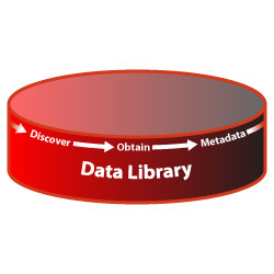
Terrain ServicesData LibraryLoyola Terrain specialists are constantly working to obtain GIS and Terrain data, and existing 3D models. Government, commercial and open data sources are solicited to determine licensing and use restrictions. After the data is obtained, metadata is developed and stored so that users are informed and decisions can be made about use of the data. If data is not available, Loyola provides on-site data collection ranging from engineering and survey grade data accurate to millimeters, to GIS grade data accurate to a meter or less. Loyola 3D modelers can rapidly convert point cloud data gathered through the use of High Definition LIDAR scanners to polygonal templates allowing for faster and more accurate high resolution 3D buildings suitable for real time databases. Terrain Services |
Contact us for pricing options and additional information:
(757) 498-6118 Ext - 101 |
|
| © Loyola Terrain Services 2018 | ||
A certified Service Disabled Veteran and Minority Owned Small Business.